
Your cart is currently empty!
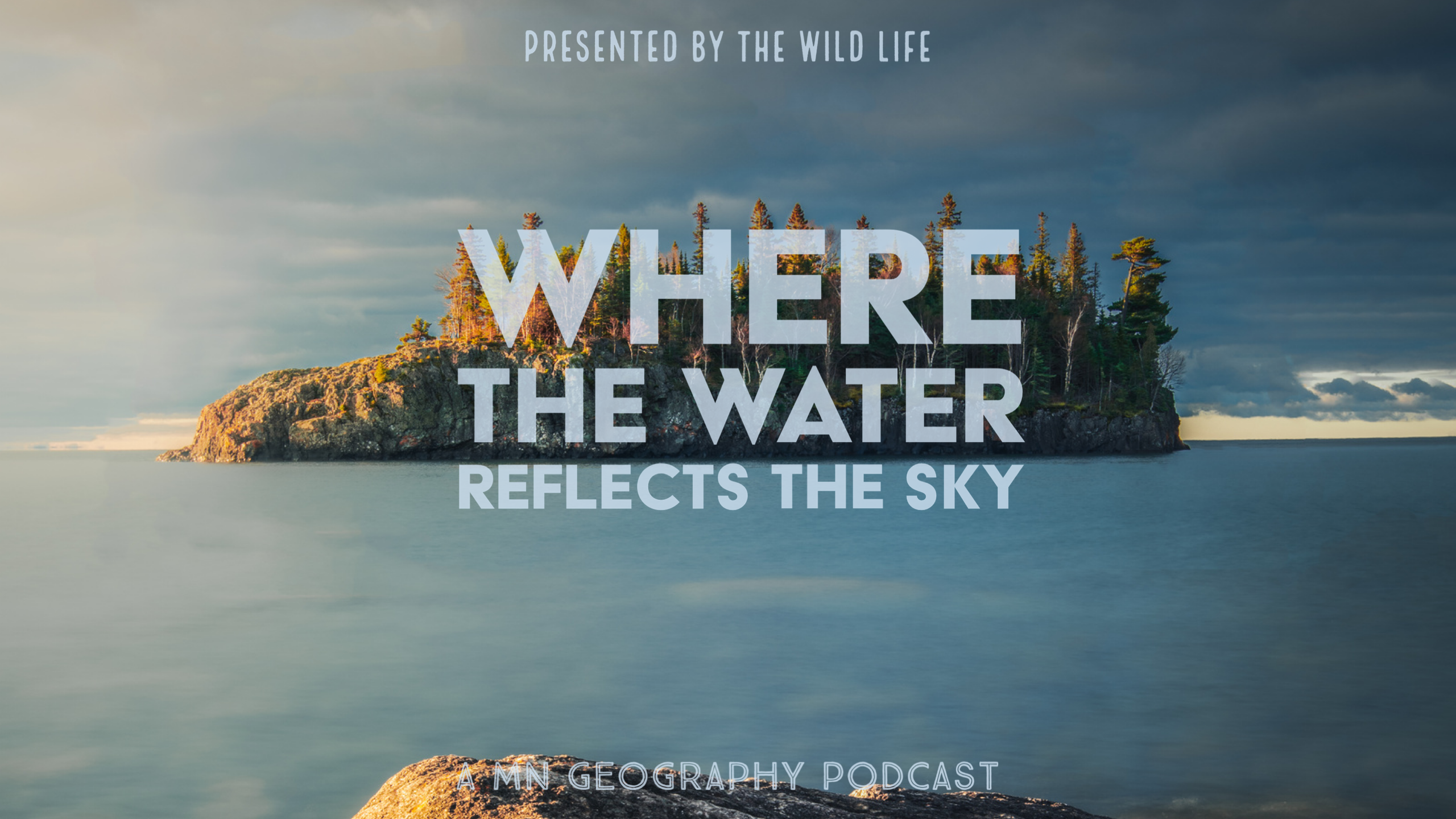
Where the Water Reflects the Sky | Part One
The depth of our history— humanity’s, life’s, earths, and that of the universe itself— is unfathomable. Yet that is where our series begins—deep time. Before you and I. Before everyone you’ve ever known, loved, or learned about. Before the pyramids, before the mammoths, before the extinction of the last and birth of the first dinosaurs. Before the surface of our planet ever saw a flower bloom. Before the oceans were ever pulled by the moon.
To make sense of it all, we’re going to scale all of that history, that change, that stability, that chaos, and fury, to a typical calendar year with the dawn of the earth occurring on January 1st—4.54 billion years ago. If you could have seen earth then, you would never have imagined it would become the blue and green paradise as we know it today.
At this scale, one day is equivalent to 12.44 million years of earth’s history
Just one second is equal to nearly 150 years. A century and a half in the blink of an eye.
The moon forms on January 7th, the result of a violent collision between early Earth and a rogue planet—Theia. Over the next billions of years, our dance with the moon will alter time and tides alike, as well as life as we know it.
On January 11th, the first traces of liquid water arise on the surface.
On February 11, the Great Bombardment Begins. It’s a period of time that makes the Chicxulub event that wiped out the dinosaurs look like a children’s birthday party. If that event was a firecracker, the Great Bombardments was the grand finale on the 4th of July. At least 22,000 meteorites struck the earth’s surface. At least 40 of those were as large as Chicxulub.
Our story, the story of what would eventually become the state of Minnesota begins roughly 3.6 billion years ago, or March 14th on our calendar of deep time.
Granitic gneisses, some of the oldest rocks on earth, formed during this time. They can still be found within Minnesota today, particularly near Morton. Touch one and you’re touching a surface roughly 80% the age of our planet.
On our calendar, months go by while the earth churns and shifts. Life begins on April 3rd, nearly ends, and begins to bloom anew, but not in a way we would recognize quite yet.
2.7 billion years ago, May 26th on our scale, the first volcanic rocks that would later underlie Minnesota began to rise up out of an ancient ocean. The Superior Craton has formed. A Craton is a large part of the earth’s crust that remains stable for a significant period of time. The Superior Craton covers an area of about 1,572,000 square kilometers, later assembling into the Canadian Shield, merging with the North American Craton.
Elsewhere, much of the underlying gneiss of today’s Minnesota remained beneath the sea, except for an area of islands in what is now the northern part of the state.
In fact, most of the land didn’t rise to the surface until roughly 2.2 billion years ago. That’s noon, July 5th, on our calendar. Just after photosynthesis begins on earth, and just before the first eukaryotic cells emerge.
As the seas began to recede, heavy minerals were deposited containing iron. The Mesabi, Gunflint, Cyuna, and Vermillion iron ranges owe their origins to this time.
Over another 1.1 billion years, through October 2, a rift tore through the earth. A linear structure extending 1800 miles from Modern Michigan’s lower peninsula, north to what is now Lake Superior, southwest to Duluth, south through eastern Minnesota, extending all the way down into what is now Kansas.
Lava emerged from cracks along the edges of what is now called the Midcontinental Rift. Typically, these rifts are continent splitters, creating deep basins between the now divided landscape which form the basis for whole oceans. In our case, the rifting stopped. 100 million years later, the last volcano went quiet.
The reasons are largely unknown. Today, the cliffs of the north shore along lake superior serve as fossils, preserving relict structures of a once chaotic landscape in eons past.
This is all, of course, only part of the story. It’s important to recall that amongst the rifting, there was an abundance of movement within the planet’s tectonic plates. Most are familiar with past mega continents like Pangea.
Our rift took place within a mega continent called Laurentia. This continent would one day release the lands which contained what we now call Greenland, as well as modern-day Ireland and Scotland.
This event, this tearing of the earth, this hot basaltic magma flowing upon the surface from deep within the earth layer upon layer upon layer, led to some of Minnesota’s most iconic landscapes and tourist locations.

At Gooseberry Falls State Park, you can see the evidence of that layering as if the very flows themselves were frozen in time. Its tiered upper, middle, and lower falls were each formed by their own single flow.
The dark basalt of Tettegouche and Temperance, the brick red Rhyolite of Palisade Head, all of that familiar, wild, alien landscape was formed by lava with various chemical makeups. This layered rock of volcanic origin is what we refer to as igneous.
Travel further north along today’s Highway 61 to Grand Portage State Park. At the end of a mile-long jaunt along a paved pathway, the High Falls of the Pigeon River cascade 120 feet along a dark igneous diabase dike, the remnants of a lava fissure in shale and sandstone.
But again, all of this is only part of the story. Flows of lava explain the shapes and structures, but the waters that now fill today’s Lake Superior or flow along the frozen-in-time frames of once-molten rock at Gooseberry. Those have different origins.
The story held within the landscape of Minnesota isn’t just a tale of Fire and Stone.
It’s a tale of Ice.
Leave a Reply